Why High-Performance Drones Are Essential for Coastal Inspections
KZ
Revolutionizing Coastal Inspections with High-Performance Drones
Coastal regions are vital ecosystems that require regular monitoring and maintenance. Traditional inspection methods can be time-consuming and costly, making high-performance drones an essential tool for efficient coastal inspections. These drones offer numerous advantages that enhance the quality and speed of data collection.

Efficiency and Speed
High-performance drones significantly reduce the time required for coastal inspections. Equipped with advanced technology, they can cover vast areas quickly, providing real-time data to inspectors. This efficiency allows for more frequent inspections, ensuring that potential issues are identified and addressed promptly.
Moreover, drones minimize the need for large teams and heavy equipment, reducing overall operational costs. This streamlined approach allows organizations to allocate resources more effectively, focusing on critical areas that need immediate attention.
Access to Challenging Areas
Coastal environments often include rugged terrains and inaccessible regions. High-performance drones excel in navigating these challenging areas, capturing detailed imagery and data that would be difficult to obtain otherwise. This capability is crucial for assessing erosion, monitoring wildlife, and evaluating the impact of human activities.
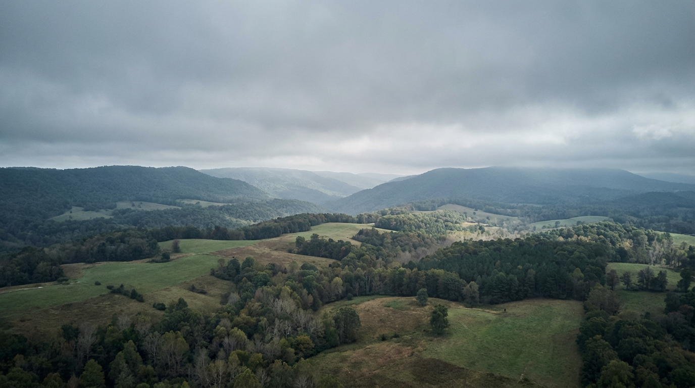
With their ability to fly at varying altitudes and angles, drones provide comprehensive coverage of the coast, ensuring no area is left unexamined. This accessibility is invaluable for creating accurate maps and models that aid in decision-making and conservation efforts.
Advanced Imaging and Data Collection
Equipped with state-of-the-art cameras and sensors, high-performance drones offer unparalleled imaging capabilities. They can capture high-resolution photos, videos, and thermal images, providing detailed insights into the coastal environment. This advanced data collection is essential for identifying changes over time and assessing the health of the ecosystem.
- High-resolution imagery for detailed analysis
- Thermal imaging for detecting temperature variations
- 3D mapping for comprehensive modeling
Improved Safety
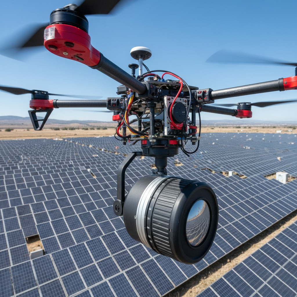
Conducting coastal inspections can pose significant safety risks to personnel, especially in hazardous or unstable areas. Drones mitigate these risks by eliminating the need for human presence in dangerous locations. This not only protects the inspection team but also ensures that inspections can be conducted without delay, regardless of environmental conditions.
Additionally, drones can be deployed quickly in response to emergencies, such as oil spills or natural disasters, providing critical information for rapid decision-making and minimizing environmental impact.
Environmental Monitoring and Conservation
High-performance drones play a crucial role in environmental monitoring and conservation efforts. By providing detailed data on coastal ecosystems, they help researchers and conservationists track changes in biodiversity, monitor endangered species, and evaluate the effectiveness of conservation measures.
This valuable information supports sustainable management practices, ensuring the long-term health and resilience of coastal regions. As technology continues to advance, the role of drones in coastal inspections will only grow, offering new possibilities for environmental stewardship.