The Ultimate Guide to Coastal and Marine Drone Applications
KZ
Introduction to Coastal and Marine Drone Applications
The use of drones in coastal and marine environments is transforming how we explore and manage these critical areas. From mapping coral reefs to monitoring marine wildlife, drones offer a versatile toolset that enhances our ability to gather data and make informed decisions. This guide delves into the various applications of drones in coastal and marine settings, highlighting their importance and versatility.
Surveying and Mapping
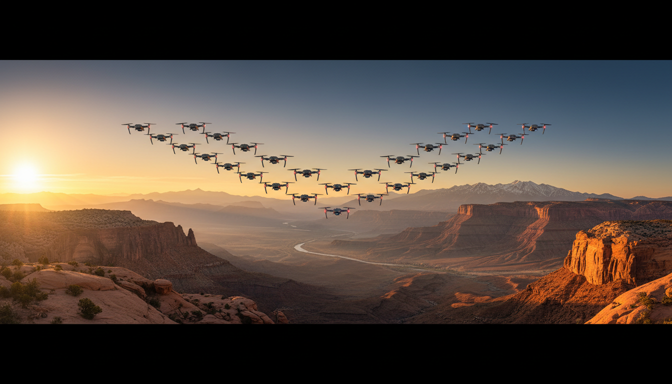
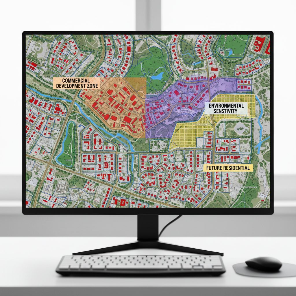
Drones are revolutionizing the way we survey and map coastal areas. Equipped with advanced cameras and sensors, they can capture high-resolution images and data over large areas quickly and efficiently. This capability is vital for creating accurate maps of coastlines, which can be used for a variety of purposes, from urban planning to environmental conservation.
Benefits of Drone Mapping
Utilizing drones for mapping offers several benefits:
- Cost-Effective: Drones reduce the need for expensive traditional surveying methods.
- High Precision: They provide detailed imagery and data, improving map accuracy.
- Speed: Drones can cover large areas in a short time, making them ideal for time-sensitive projects.
Marine Wildlife Monitoring
Drones offer a non-intrusive way to monitor marine wildlife, allowing researchers to gather data without disturbing the animals. This is particularly useful for studying species that are difficult to observe directly, such as whales and dolphins. With drones, researchers can track movements, behavior, and population dynamics with unprecedented ease.
Case Study: Whale Monitoring
One notable application is the use of drones to monitor whale populations. By flying over their habitats, drones can capture footage and collect data that help in understanding these majestic creatures' migration patterns and health.
Environmental Monitoring and Conservation
Environmental monitoring is another critical application of drones in coastal and marine settings. They are used to assess the health of coral reefs, monitor water quality, and detect illegal activities such as fishing in protected areas. The ability to quickly gather and analyze data helps in making timely decisions that can aid in conservation efforts.
Coral Reef Assessment
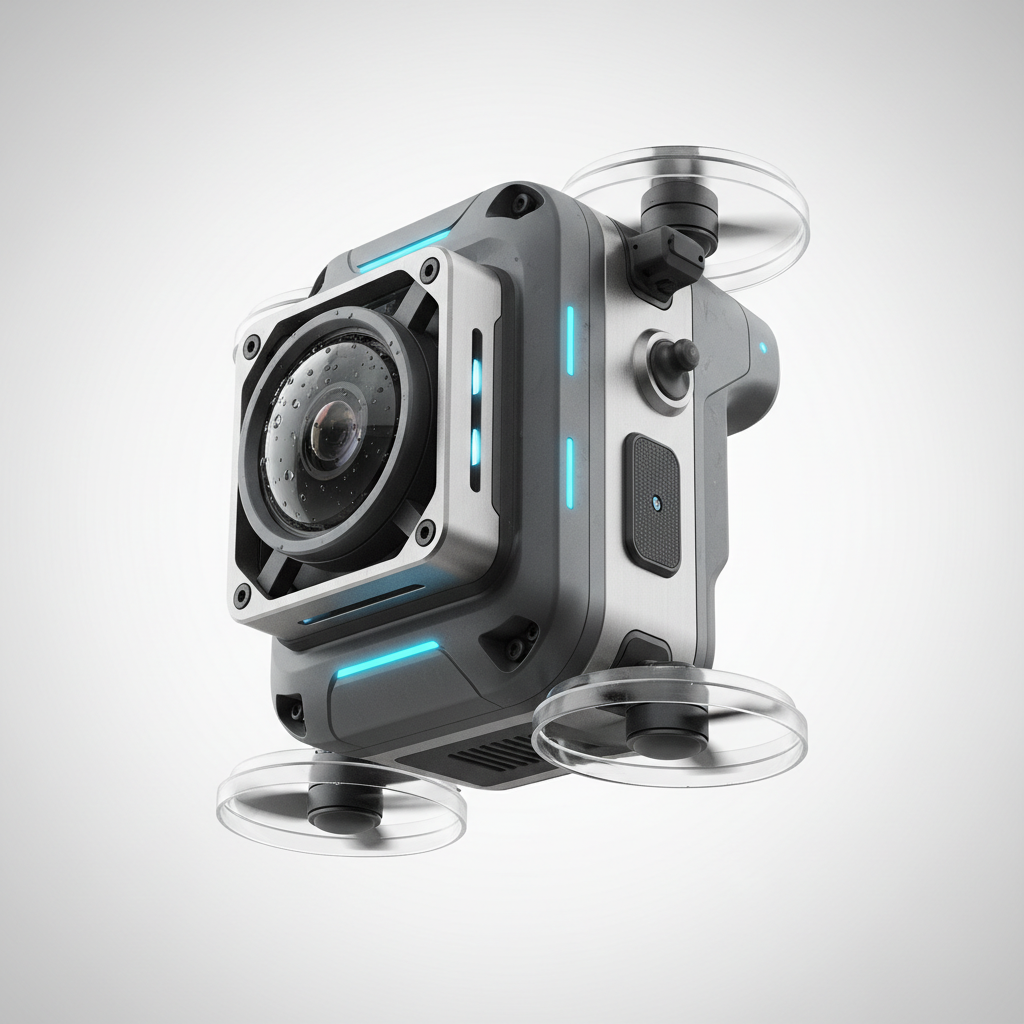
Drones equipped with specialized cameras can capture images of coral reefs, providing insights into their health and the impacts of environmental changes. This information is crucial for conservationists working to protect these vital ecosystems.

Conclusion
Incorporating drones into coastal and marine applications offers a promising future for environmental management and conservation. Their ability to efficiently gather detailed data transforms our approach to understanding and protecting these vital areas. As technology continues to advance, the potential for drones in these settings will only grow, offering even more innovative solutions for the challenges we face.