How to Enhance Coastal and Marine Projects with Drone Technology
KZ
Introduction to Drone Technology in Coastal and Marine Projects
In recent years, drone technology has emerged as a powerful tool for enhancing various aspects of coastal and marine projects. From environmental monitoring to infrastructure inspection, drones offer numerous advantages over traditional methods. By providing high-resolution imagery, real-time data, and access to hard-to-reach areas, drones are revolutionizing the way we approach marine and coastal management.
Environmental Monitoring and Assessment
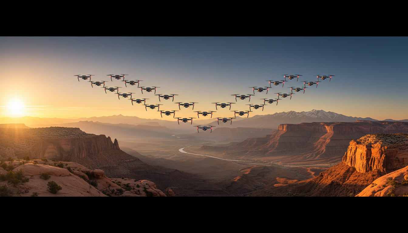
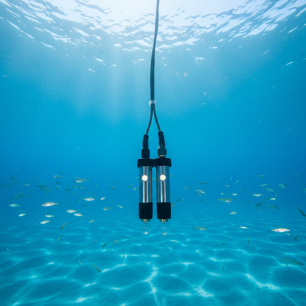
Drones are particularly effective in environmental monitoring and assessment. They can capture vast areas of coastline and marine environments quickly and efficiently. With advanced sensors, drones can monitor water quality, track changes in coastal erosion, and observe marine wildlife without disturbing their habitats. This technology allows for more accurate data collection, leading to better-informed decision-making.
Moreover, drones can be equipped with thermal cameras and multispectral sensors to detect changes in vegetation health and identify pollution sources. This capability is invaluable for conservation efforts and maintaining the ecological balance of marine ecosystems.
Advantages Over Traditional Methods
Compared to traditional monitoring methods, drones are more cost-effective and less time-consuming. They eliminate the need for extensive fieldwork, reducing the risks associated with human intervention in sensitive environments. Additionally, drones can cover areas that are difficult to access, ensuring comprehensive data collection.
Infrastructure Inspection and Maintenance
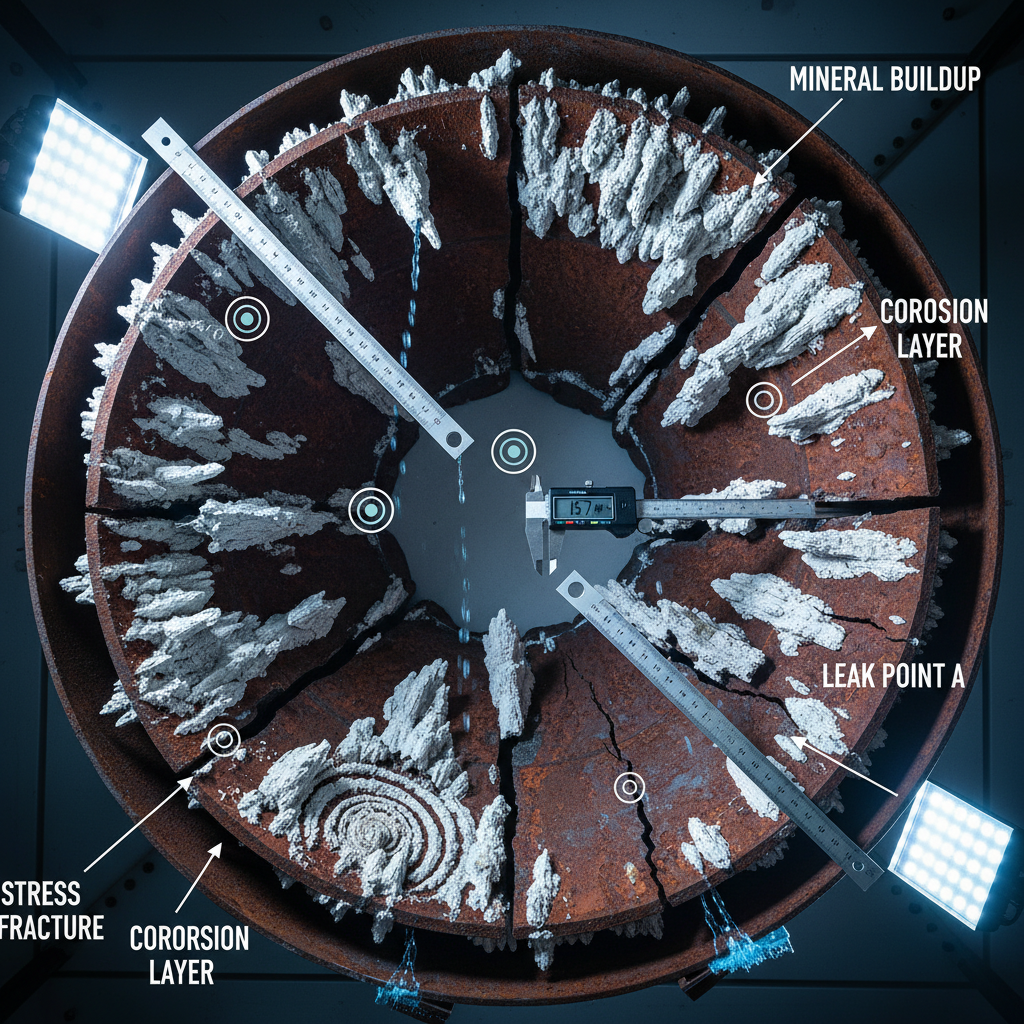
Another significant application of drones in coastal and marine projects is infrastructure inspection. Drones can inspect bridges, piers, and offshore platforms with great precision, identifying structural issues that may require attention. This capability ensures the safety and longevity of critical infrastructure.
By capturing high-resolution images and videos, drones provide detailed visual data that can be used to assess the condition of structures. This information is crucial for maintenance planning and can help prevent costly repairs by addressing issues early on.
Improving Safety and Efficiency
Using drones for inspection reduces the need for manual inspections, which can be dangerous and labor-intensive. By minimizing human exposure to hazardous environments, drones enhance worker safety while delivering accurate and reliable results.
Mapping and Surveying
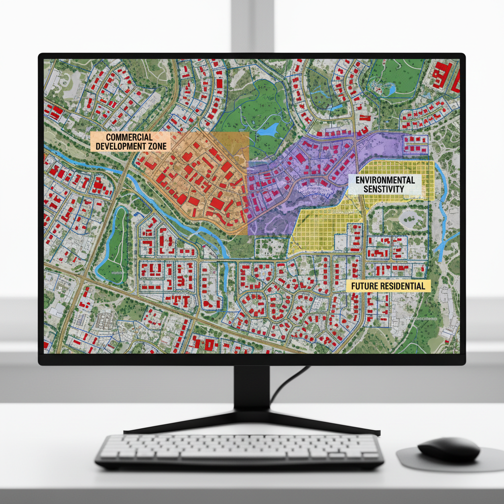
Drones have revolutionized mapping and surveying practices in coastal and marine projects. With advanced GPS and imaging technology, drones can create detailed maps and 3D models of coastal areas. These resources are invaluable for urban planning, disaster management, and environmental conservation.
Accurate mapping is essential for understanding coastal dynamics, including sediment transport and shoreline changes. Drones provide a cost-effective solution for obtaining high-quality topographic data, which can be used to develop sustainable management strategies.
Facilitating Disaster Response
In the event of natural disasters such as hurricanes or tsunamis, drones can play a crucial role in emergency response. By quickly surveying affected areas, drones provide real-time information that can guide rescue and recovery efforts, helping to save lives and mitigate damage.
Conclusion
The integration of drone technology into coastal and marine projects offers unparalleled opportunities for innovation and improvement. By enhancing environmental monitoring, infrastructure inspection, and mapping capabilities, drones are transforming the way we manage and protect our coastal and marine environments. As technology continues to evolve, the potential applications of drones in these fields will only expand, paving the way for more sustainable and efficient practices.