Exploring Nyack from Above: How Drone Services Enhance Urban Planning
KZ
Revolutionizing Urban Planning with Drones
Urban planning has always been a complex process, requiring detailed analysis and strategic foresight. In recent years, drone technology has transformed the way planners approach their projects. In places like Nyack, the use of drones offers a fresh perspective, enabling a more comprehensive understanding of the urban landscape.
Drones provide high-resolution imagery that can be used for mapping and surveying, offering a bird's-eye view of the area. This capability is invaluable for identifying potential development sites and understanding the relationship between existing structures and the natural environment.
Advantages of Drone Technology in Urban Planning
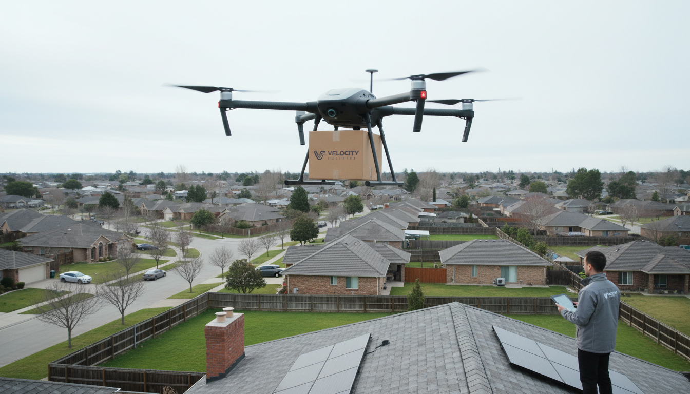
One of the primary benefits of using drones in urban planning is the ability to access hard-to-reach areas. Traditional surveying methods can be time-consuming and challenging in dense urban environments. Drones, however, can easily navigate these spaces, providing planners with detailed data.
Moreover, drones can capture real-time data, which is crucial for making informed decisions. This ability to quickly gather and analyze information helps planners respond to changes in the environment and adapt their strategies accordingly.
Enhanced Data Collection
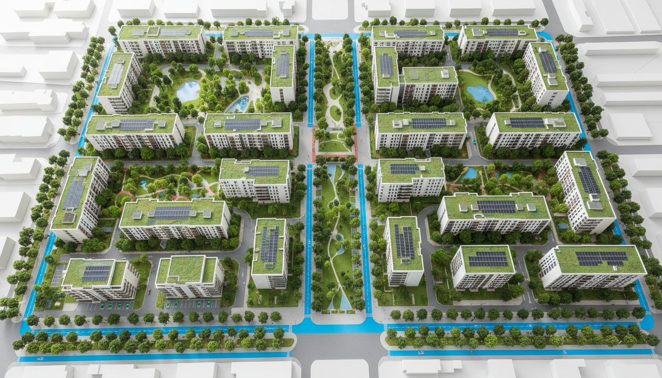
Drone services offer a significant enhancement in data collection capabilities. Equipped with advanced sensors, drones can measure various environmental factors such as air quality and temperature, contributing to a more sustainable urban planning approach.
Additionally, the high-resolution images captured by drones can be used to create detailed 3D models of the area. These models help planners visualize potential changes and assess their impact before any ground is broken.
Applications in Nyack
In Nyack, drones have been instrumental in several urban planning projects. From assessing infrastructure needs to monitoring environmental impacts, drones have provided planners with a range of tools to improve their work.
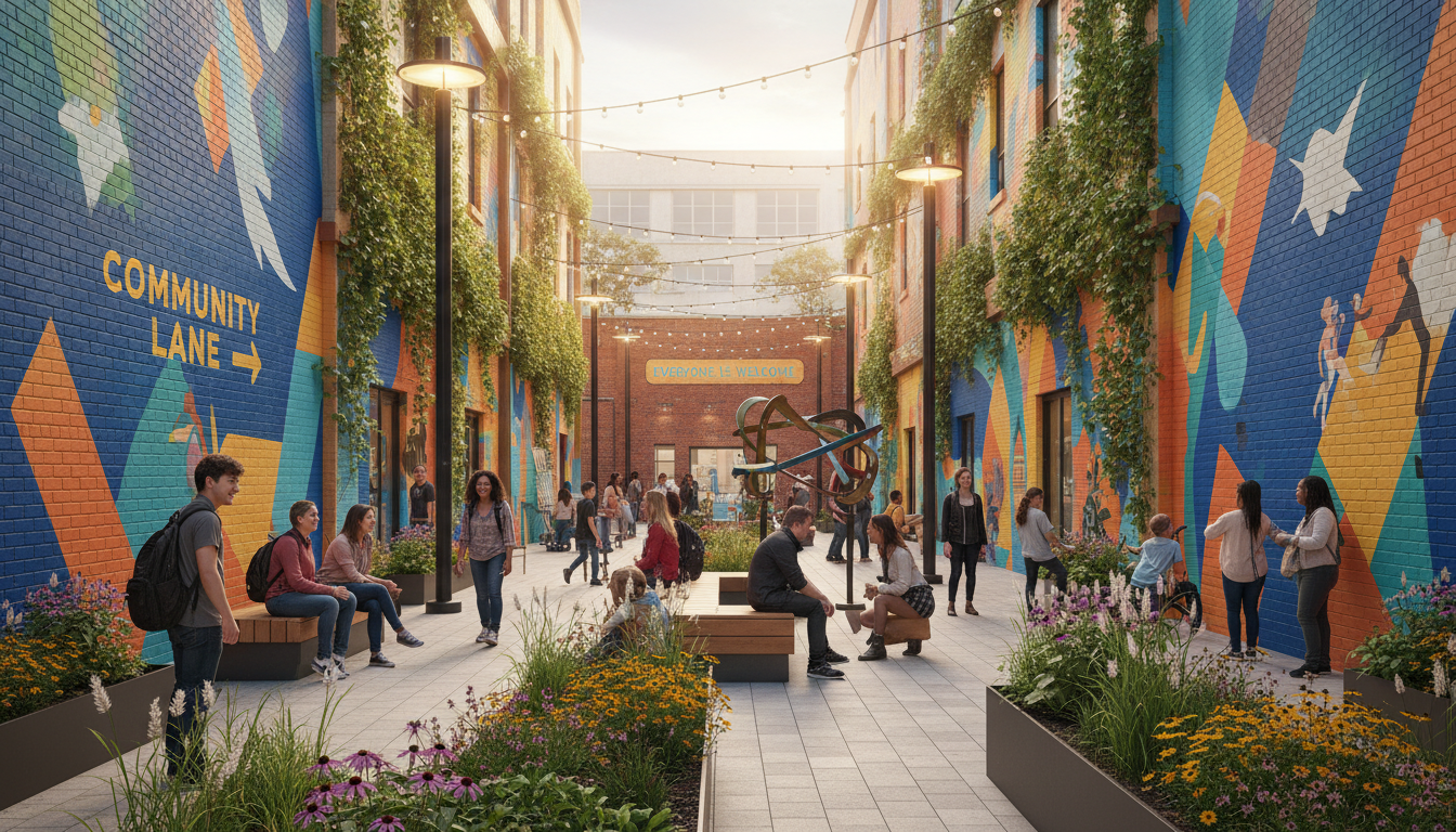
For instance, during the planning of new public spaces, drones have been used to study pedestrian traffic patterns, ensuring that new developments accommodate community needs effectively.
Future Prospects
The use of drones in urban planning is expected to grow, with advancements in technology continually expanding their capabilities. As regulations evolve, drones will likely become an even more integral part of the planning process, offering more accurate and efficient solutions.
Nyack serves as a model for other cities looking to integrate drone technology into their urban planning efforts. By embracing these innovations, cities can build smarter, more sustainable communities.