DIY Guide: Understanding Drone Footage for Coastal Inspections
KZ
Introduction to Drone Footage for Coastal Inspections
With the advancement of technology, drones have revolutionized the way we conduct coastal inspections. They provide a safe, efficient, and cost-effective solution for monitoring and maintaining coastal areas. This DIY guide will help you understand how to utilize drone footage for coastal inspections effectively.
Why Use Drones for Coastal Inspections?
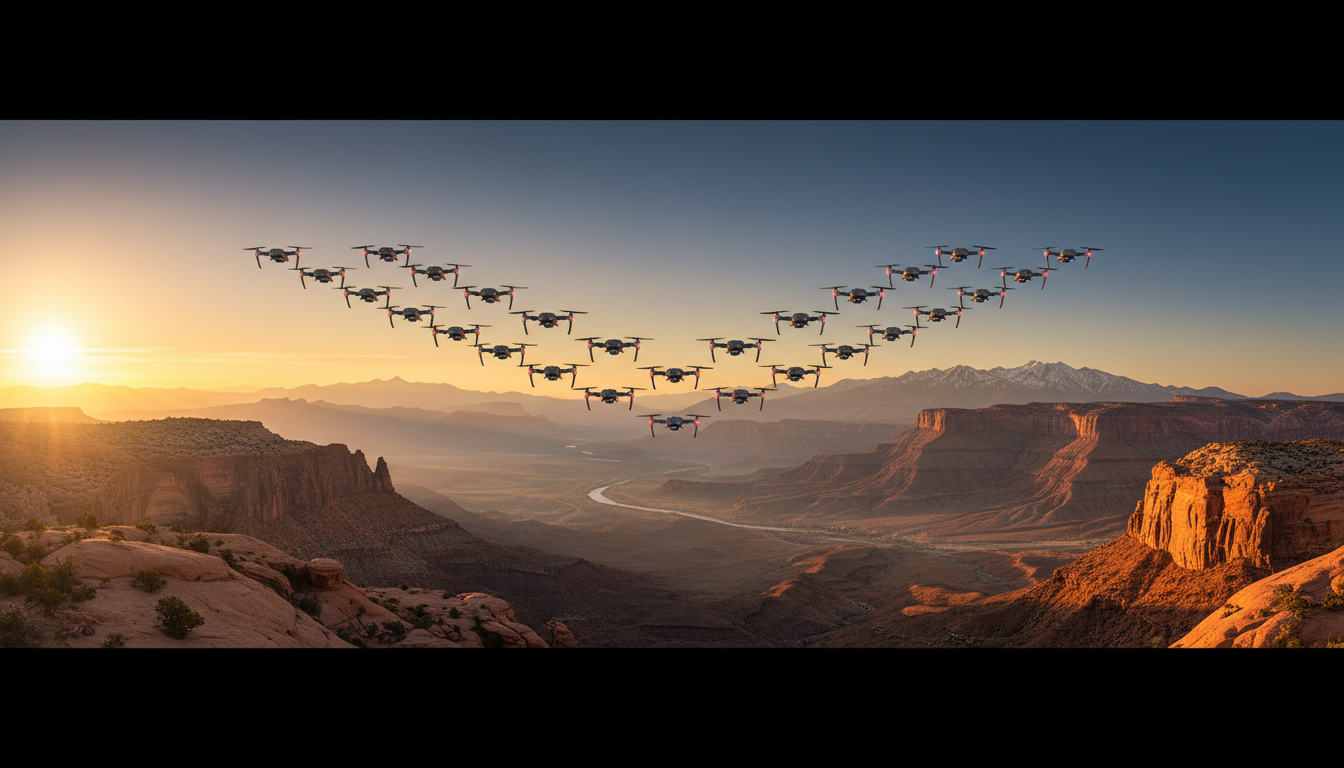
Drones offer several advantages over traditional methods of inspection. They can easily access hard-to-reach areas, capture high-resolution images, and provide real-time data. This makes them invaluable for monitoring erosion, assessing storm damage, and managing coastal resources.
In addition to accessibility, drones significantly reduce the need for human involvement in potentially dangerous environments. This ensures the safety of personnel and minimizes the risk of accidents.
Choosing the Right Drone
When selecting a drone for coastal inspections, consider factors such as camera quality, flight time, and weather resistance. A drone equipped with a high-resolution camera and extended battery life will provide the best results. Additionally, ensure the drone can withstand windy and salty environments common in coastal areas.

Setting Up Your Drone for Inspections
Proper setup is crucial for capturing valuable footage. Begin by calibrating your drone’s compass and verifying GPS connectivity. Plan your flight path carefully to cover all areas of interest. Use mapping software to outline the inspection area and ensure comprehensive coverage.
It's also important to check local regulations regarding drone flights in coastal areas. Ensure you have the necessary permits and adhere to any altitude or distance restrictions to avoid legal issues.
Capturing and Analyzing Footage
Once your drone is in the air, focus on capturing clear and detailed footage. Use different camera angles and altitudes to get a comprehensive view of the coastline. Pay attention to any signs of erosion, debris, or structural damage.
After collecting the footage, use software tools to analyze and interpret the data. Look for patterns and trends that could indicate potential problems. This analysis can help in making informed decisions about coastal management and maintenance.
Maintaining Your Drone
Regular maintenance of your drone is essential to ensure its longevity and performance. After each flight, clean the drone to remove any salt residue and inspect for any damage or wear. Keep software and firmware updated to enhance functionality and security.
By following these maintenance tips, you can extend the lifespan of your drone and ensure it remains reliable for future inspections.

Conclusion
Understanding how to use drone footage for coastal inspections can greatly enhance your ability to monitor and manage these vital areas. By choosing the right equipment, planning carefully, and maintaining your drone, you can effectively leverage this technology to protect and preserve coastal environments.
Embrace the power of drones and see firsthand how they can transform your approach to coastal inspections. Happy flying!